Between Hemispheres
International Date
During the last leg of our expedition, our research path took us right along the 180° line of longitude: the seam between the eastern and western hemispheres and the International Date Line. While we didn’t change our clocks or our date onboard, it was still a bit surreal to realize that essentially, the port side of the ship was in “today” and the starboard side was in “yesterday!” The header image is my attempt to portray this feeling of existing in both hemispheres.
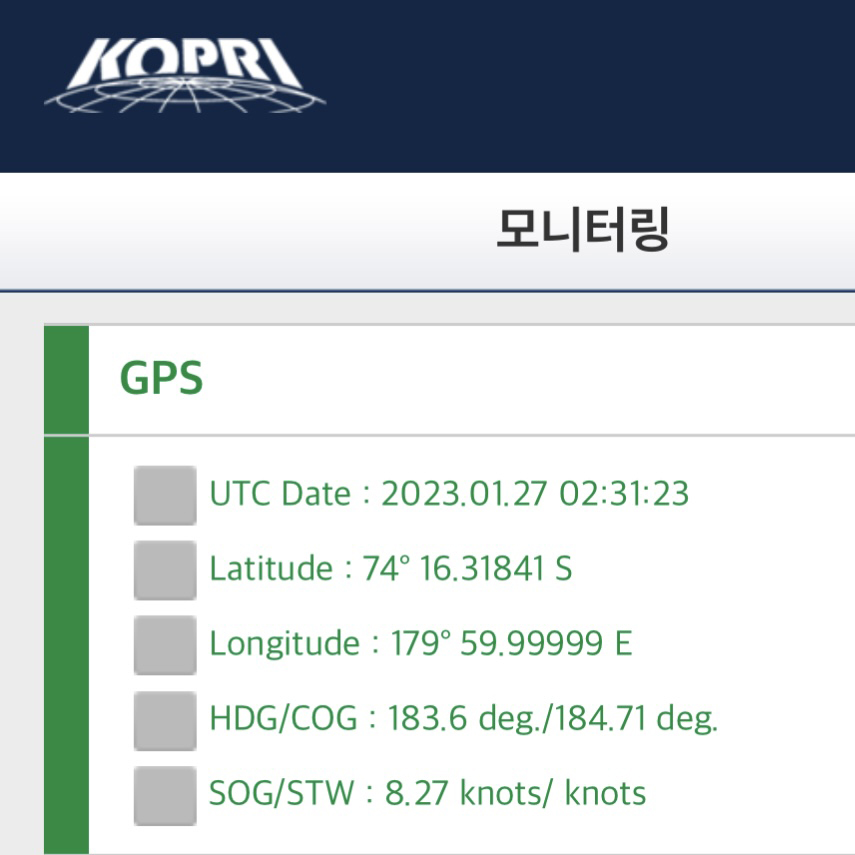
As we bounced across the line, I tried to capture our GPS reading right at 180°, but could only come this close! Photo by Jenn Magnusson.
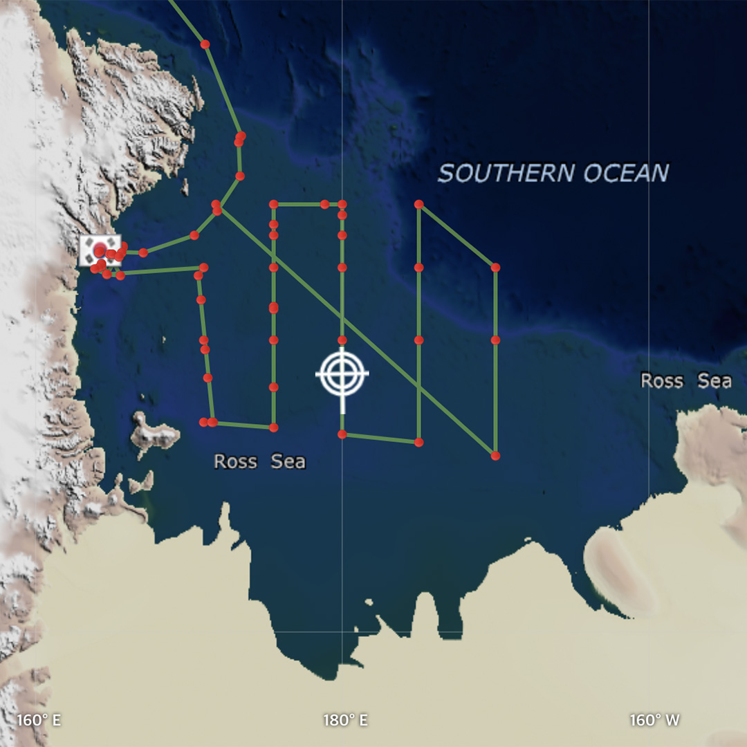
Our sampling map shows the track right along the 180° longitude line. Image by Jenn Magnusson.
Halfway Point
Just as we crossed the date line, we also crossed into the second half of our voyage. There are now fewer days left than days that have already passed. We’ve hit our stride, and everyone has settled into the routine of sampling. I have three floats left to deploy and three more water samples to collect and process. I’ve tried a LOT of new foods. I’ve seen spectacular land- and seascapes, including sea ice, volcanoes, ice shelfs, icebergs, and snow-topped mountains. I missed going to Jang Bogo. But I’m still looking forward to what the next half of the cruise will bring!
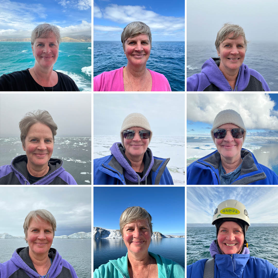
A few of my daily selfies showing the different views along the way. Photos by Jenn Magnusson.

A photo collage of the different food, snacks, and drinks I’ve tried. Photo by Jenn Magnusson
Southern Ocean Beauty
I’ll leave you with a few photos that showcase the scenery and grandeur of the Southern Ocean and Ross Sea.
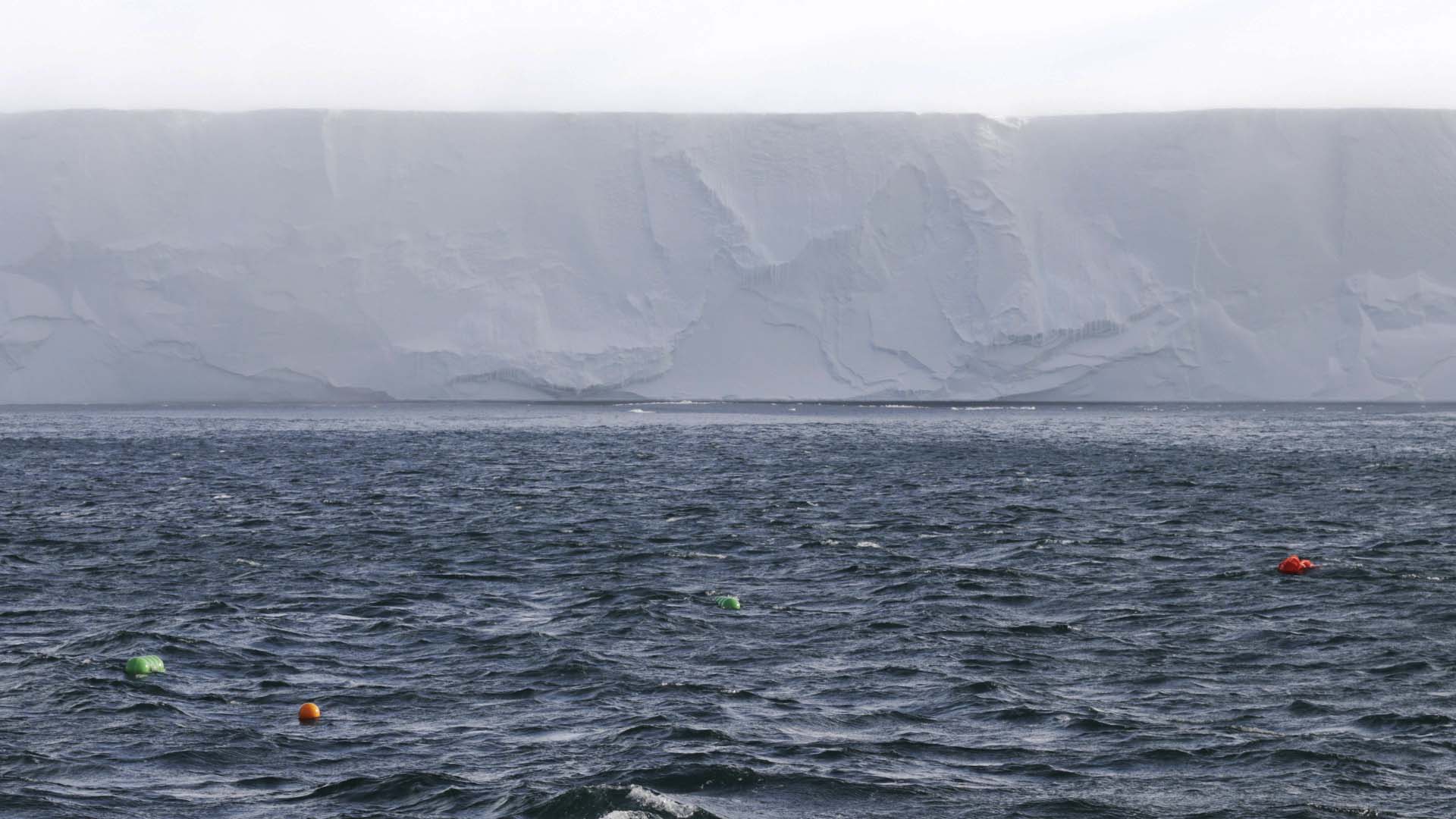
Recovering a mooring right up against the Ross Ice Shelf. Photo by Jenn Magnusson.
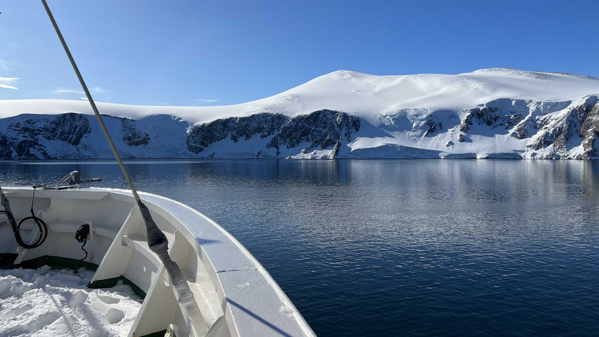
Snow in the bow of the IBRV Araon in a beautiful Antarctic bay. Photo by Jenn Magnusson.
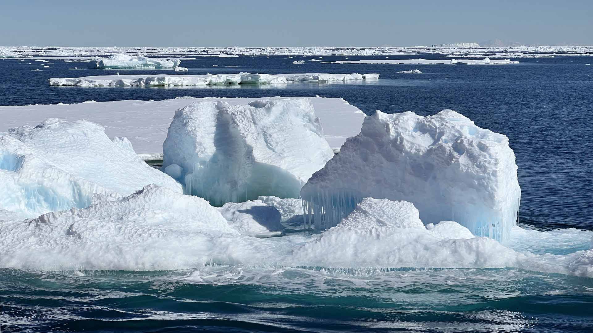
There is a captivating range of colors in the ice. Photo by Jenn Magnusson
